About:
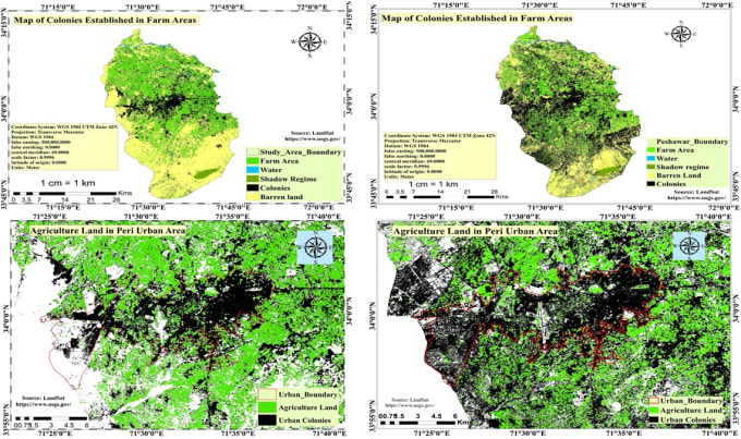
Spatial analysis using Advance Remote sensing and GIS technology can be performed in Geology,Hydrology,Forestry and agriculture fields.Analysis,Research and mapping will be on:
- Flood Forecasting
- Snow covers identifications
- Land-use land cover mapping
- Spatial modeling
- Cartography
- Mineral identification
- Soil mapping
- Landslide susceptibility
- Change detection
- Land surface temperature
- Road Network analysis
- Contour mapping
- Slope mapping
- Aspect mapping
Reviews
: : : : :

No comments:
Post a Comment